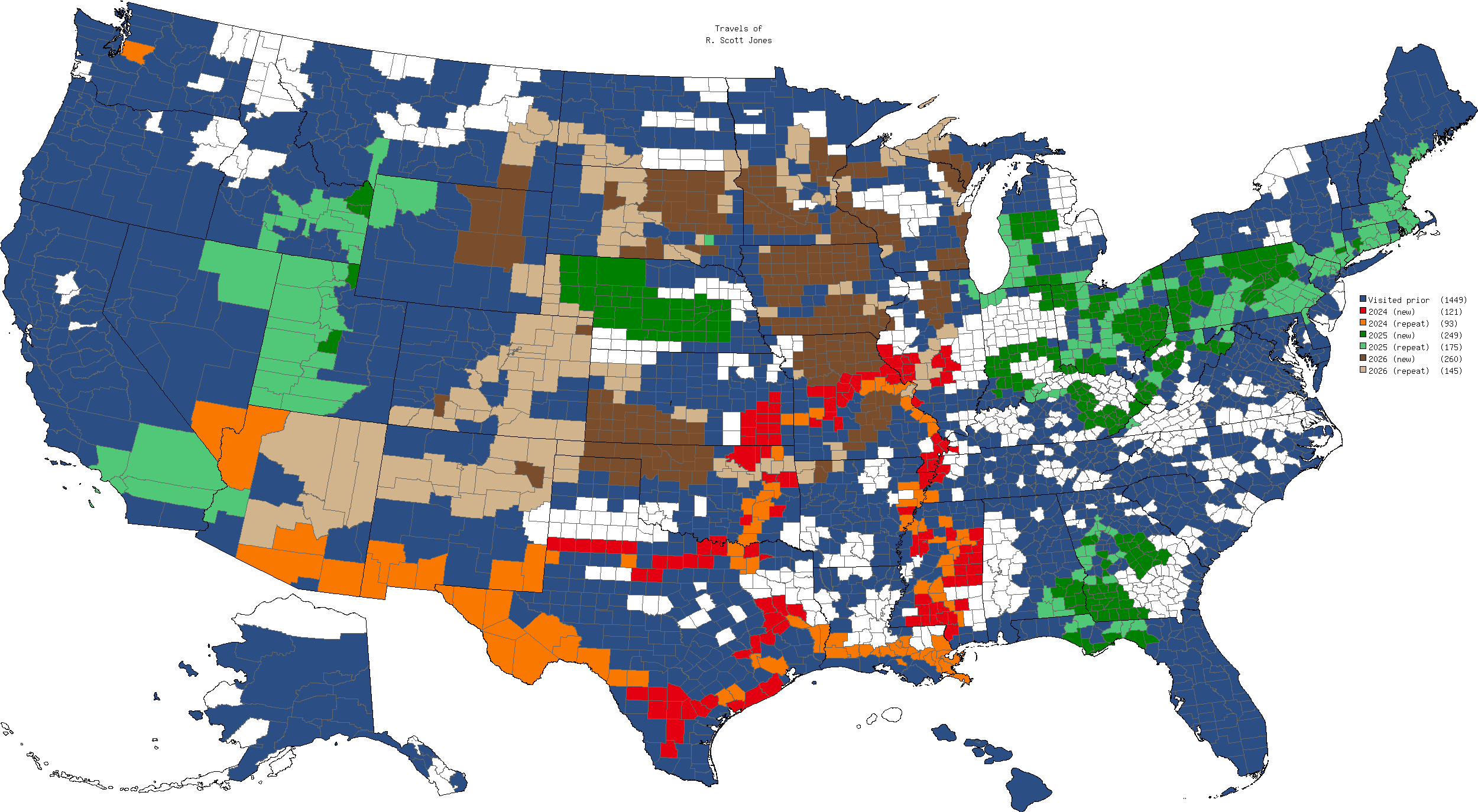
Crazy to see that, since 2024, I’ve been to exactly 1043 US counties, which is a full 33% of the US. Of those, 630 of those have been my first visit to that county, exactly 1/5th of the US. Wow! 🤯🤯🤯
Updated some of my travel quests after our recent trips:
- 50 Countries by Age 50 (now 63/100)
- Drink a Guinness in an Irish Pub in 32 Countries (66%)
- 100 UNESCO World Heritage Sites (61%)
- UNESCO World Heritage Site in 50 Countries (60%)
- National Parks in 50 Countries (38%)
- US Counties (79%)
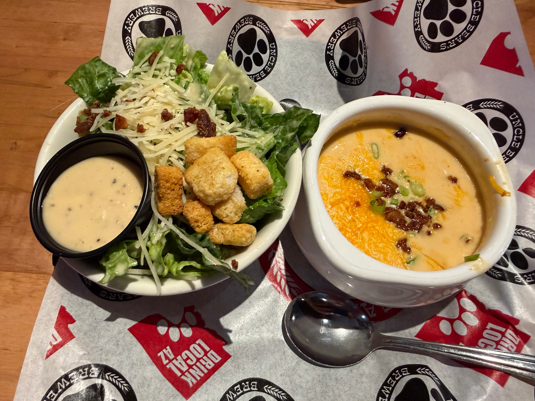
I was constantly on the lookout for beer cheese soup during our last road trip, finding only a single mediocre bowl at a brewery. So my wife did some digging and found the only spot in Phoenix that seems to be serving it and surprised me with lunch out today.
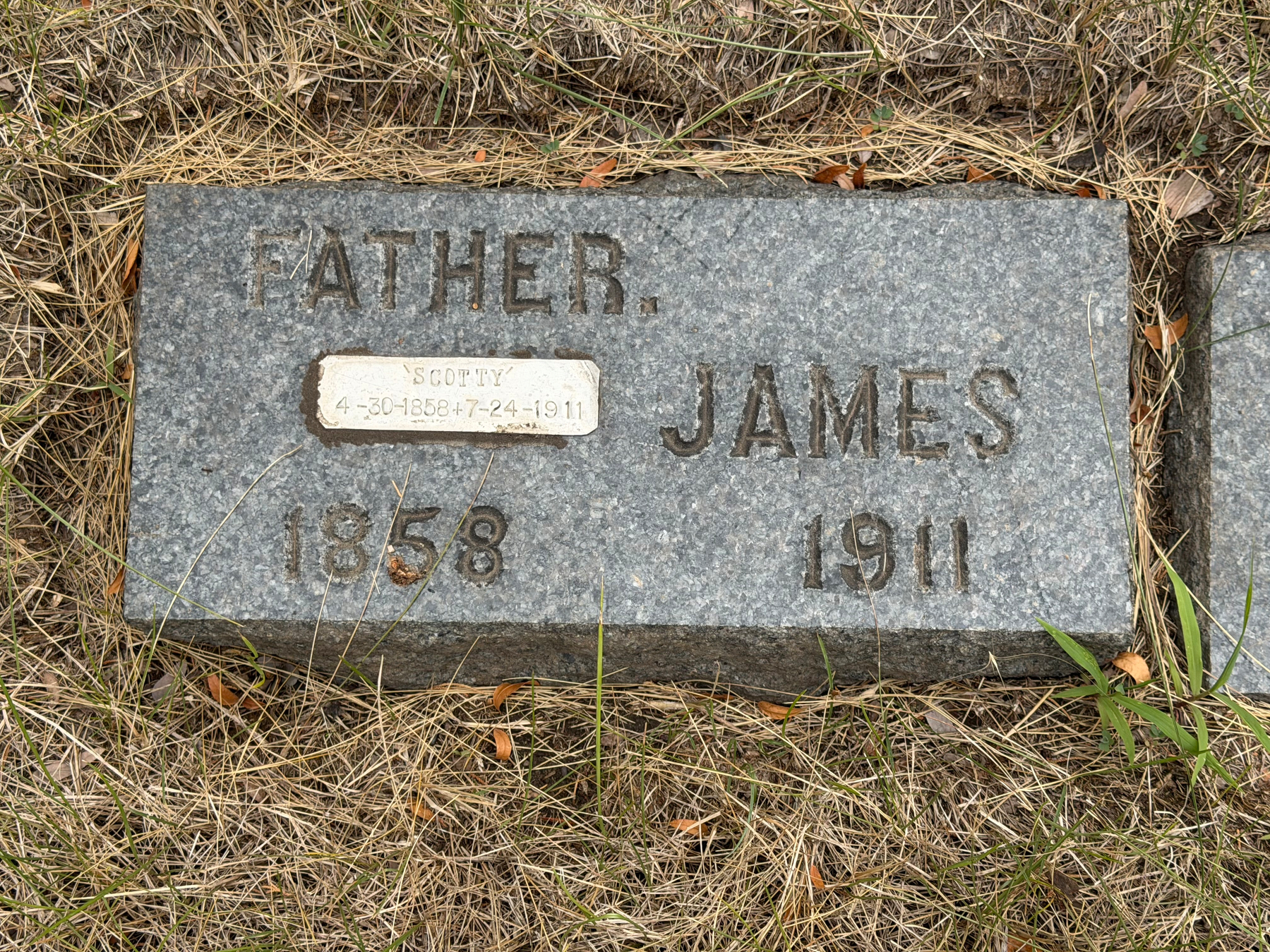
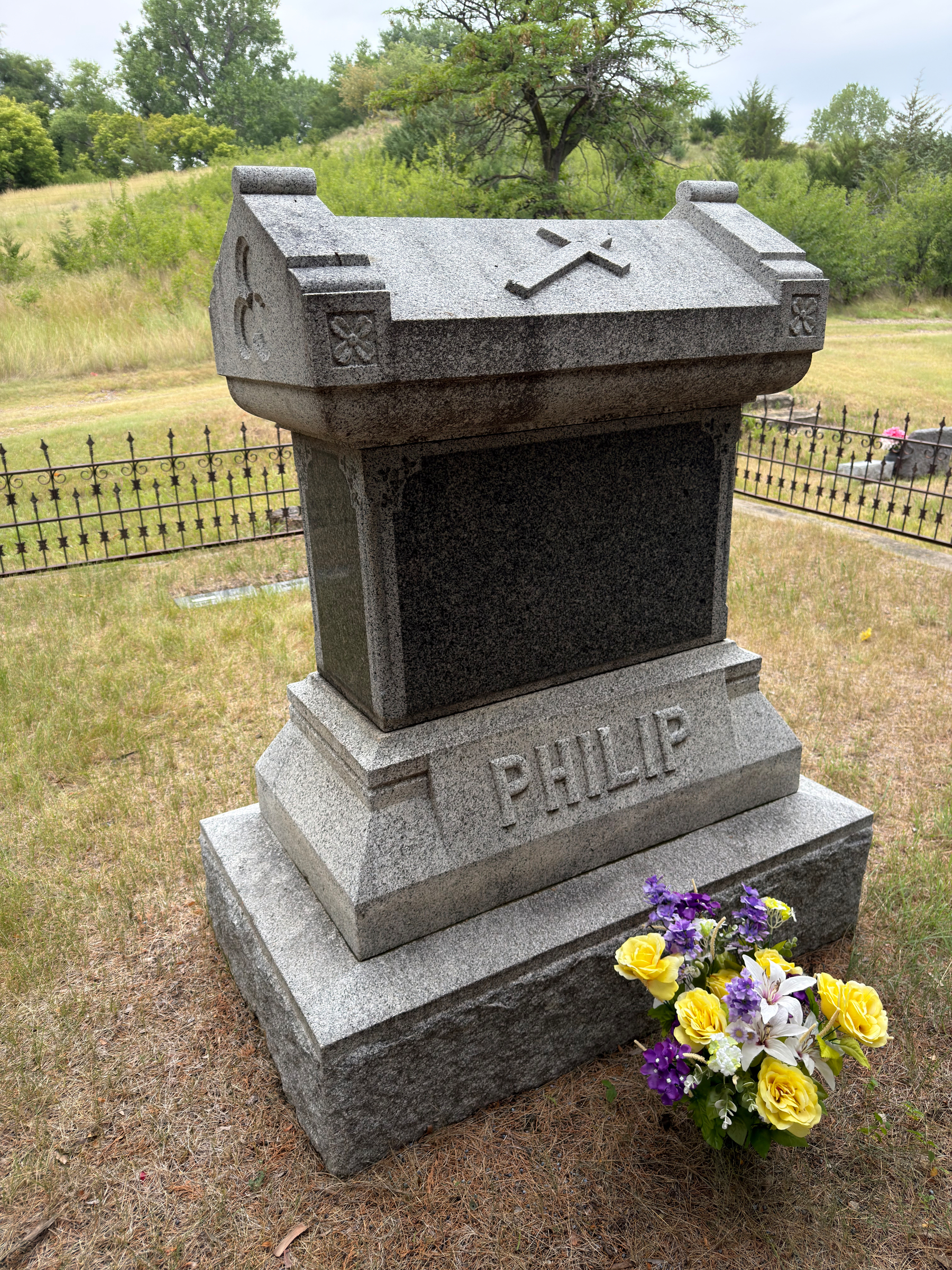
Today we tracked down the simple gravesite of Scotty Philips, who is often regarded as the guy who saved the bison from extinction.
When only a few hundred bison were left in the US, he made the decision to grow a herd to more than a thousand, which he distributed to ranchers around the country specifically to help rebuild the population.
If you’ve ever seen a bison in the wild, there’s a very good chance that it is a descendent from his herd.
Some additional background from the National Buffalo Foundation:
James “Scotty” Philip (1858–1911) is the Scottish-born American rancher and South Dakota politician remembered as the “man who saved the buffalo” due to his role in helping to preserve the American Bison from extinction.
Philip emigrated to the United States in 1874 at the age of 15, first settling in Victoria, Kansas, but moving shortly thereafter to the Dakota Territory to join the Black Hills gold rush. Unable to make a living from his mining efforts, he took on odd jobs enabling him to buy a few cows to begin ranching. Philip married Sarah Larribee. Since she was half Cheyenne, the Philips were given a plot of treaty-protected Native American land and allowed to graze the small herd on the fertile grasses of the reservation.
His concern for the America bison may have begun prior to his move to the Black Hills. In Kansas he had seen trainloads of bison hides in transport to tanneries and heard that hunting pressure had divided the once incomprehensibly expansive bison population into distinctly separate, dwindling herds. Later, while building his ranching empire, which at its peak comprised more than 40,000 head of cattle and employed 65 hands, he noted the lack of bison from what had traditionally been a bison-covered range. He became convinced he must try to save and preserve a prominent “symbol of the west.”
Philip had heard of Pete Dupree, who had managed to catch five buffalo calves during the last big hunt on the Grand River in 1881. When Dupree died in1899, Philip purchased the herd from the Dupree estate. Then he built the first-ever enclosed bison pasture along the Missouri River just north of the present day town of Fort Pierre. When it was completed in 1901, Philip and several of his ranch hands drove the Dupree herd, now grown to 74 head, 100 miles to the pasture.
In 1906, Philip appealed to the US Congress to help save the buffalo. Philip was permitted to lease 3,500 acres of unclaimed Government land to form what may be South Dakota’s first tourist attraction, the Buffalo Park.
Philip also worked with ranchers from Canada, North Dakota, Montana, Oklahoma and Texas as bison rescuers. Their collective effort acquiring small numbers of bison at a time is largely responsible for the preservation of the species.
Due to his hard work and determination, Philip had experienced relatively quick success as a rancher and in several entrepreneurial ventures. And he had formed numerous relationships of influence and power. He was a respected military scout and courier, an advisor and friend to four governors and several bank directors. He was co-founder and CEO of the first Missouri River Stockman’s Association. He was a personal friend of several Indian chiefs, including Crazy Horse and Red Cloud. He was a senator in the South Dakota State Legislature. He used this influence to become not only the benefactor of the American bison but also to gain fairer treatment of Native American peoples and to help his employees, neighbors and friends advance themselves.
Philip died suddenly on July 23, 1911. He was buried on a family cemetery near his buffalo pasture. The herd had grown to approximately a thousand head, the largest in the world at that time. Some of the bison came down from the hills as the funeral procession passed. Newspapers suggested the bison were “showing their respect to the man who had saved them.” Members of this herd were used later to stock national and state parks throughout the United States. Custer State Park, for instance, purchased 36 head from the Philip herd.
Wowza!
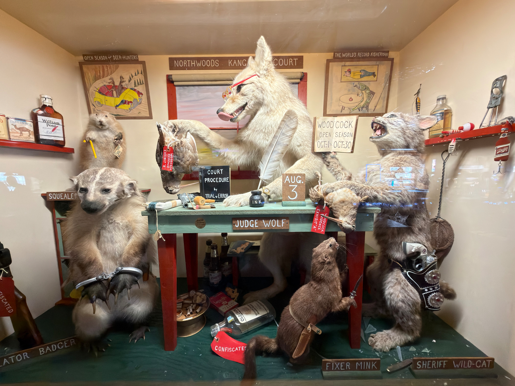
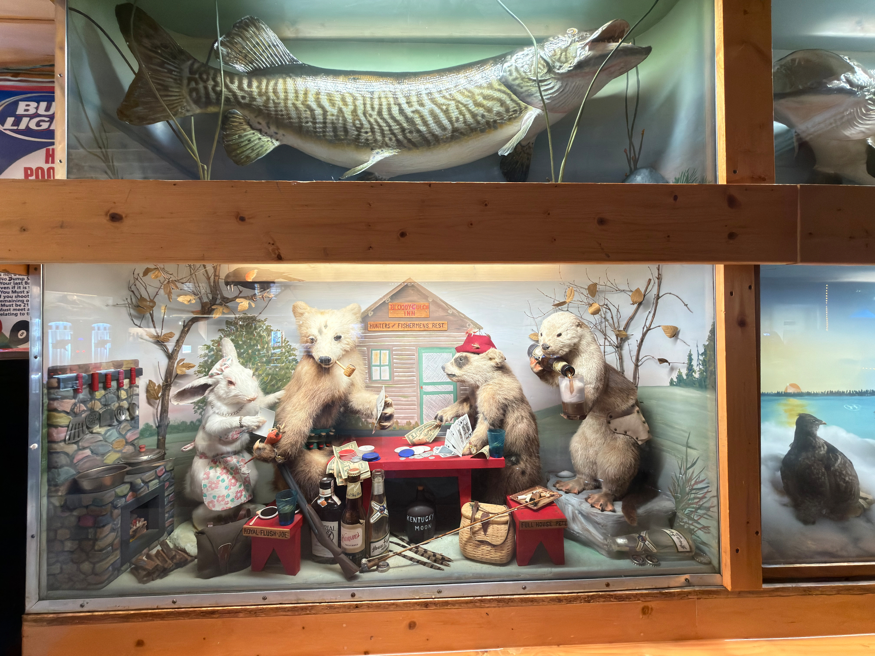
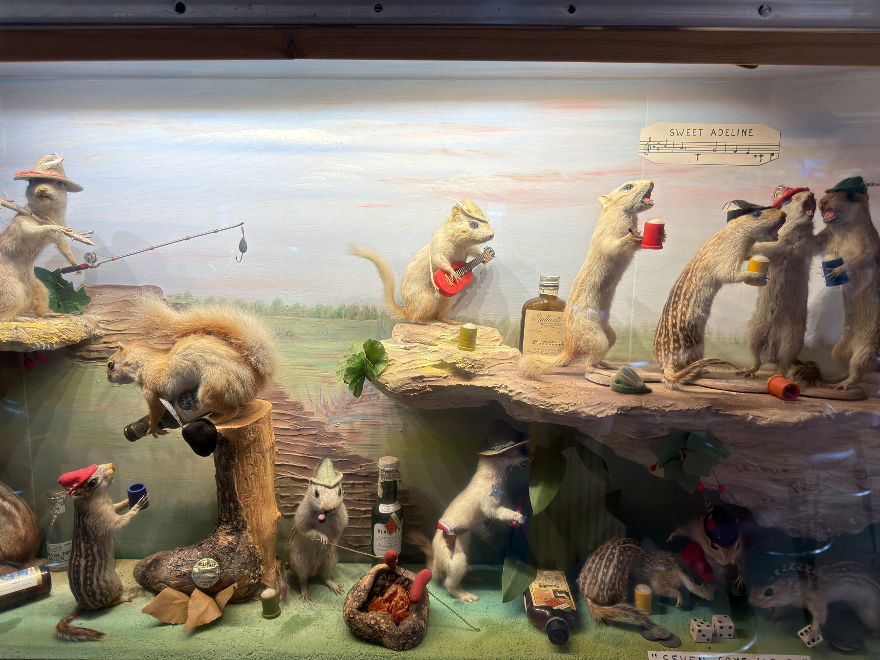
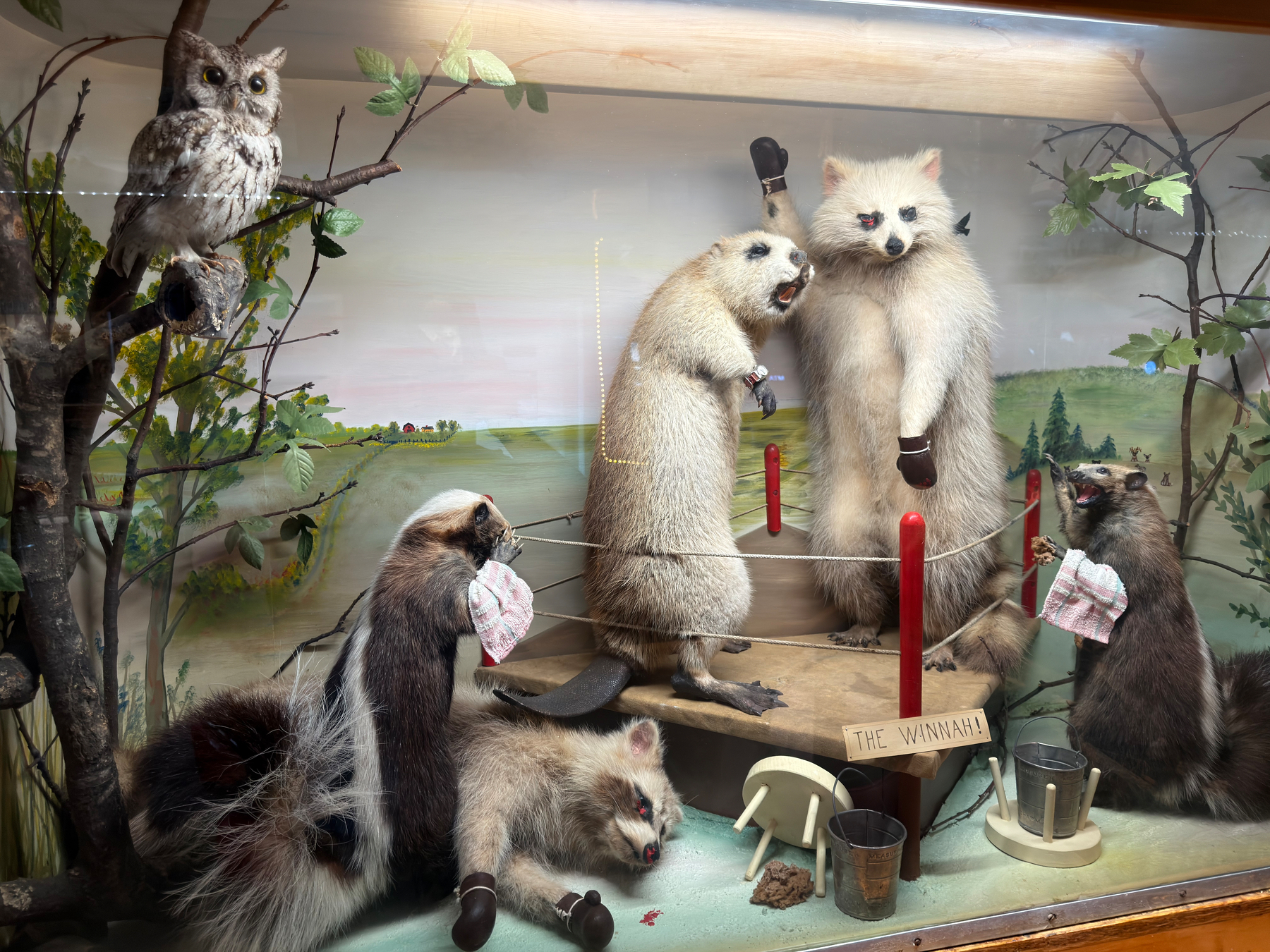
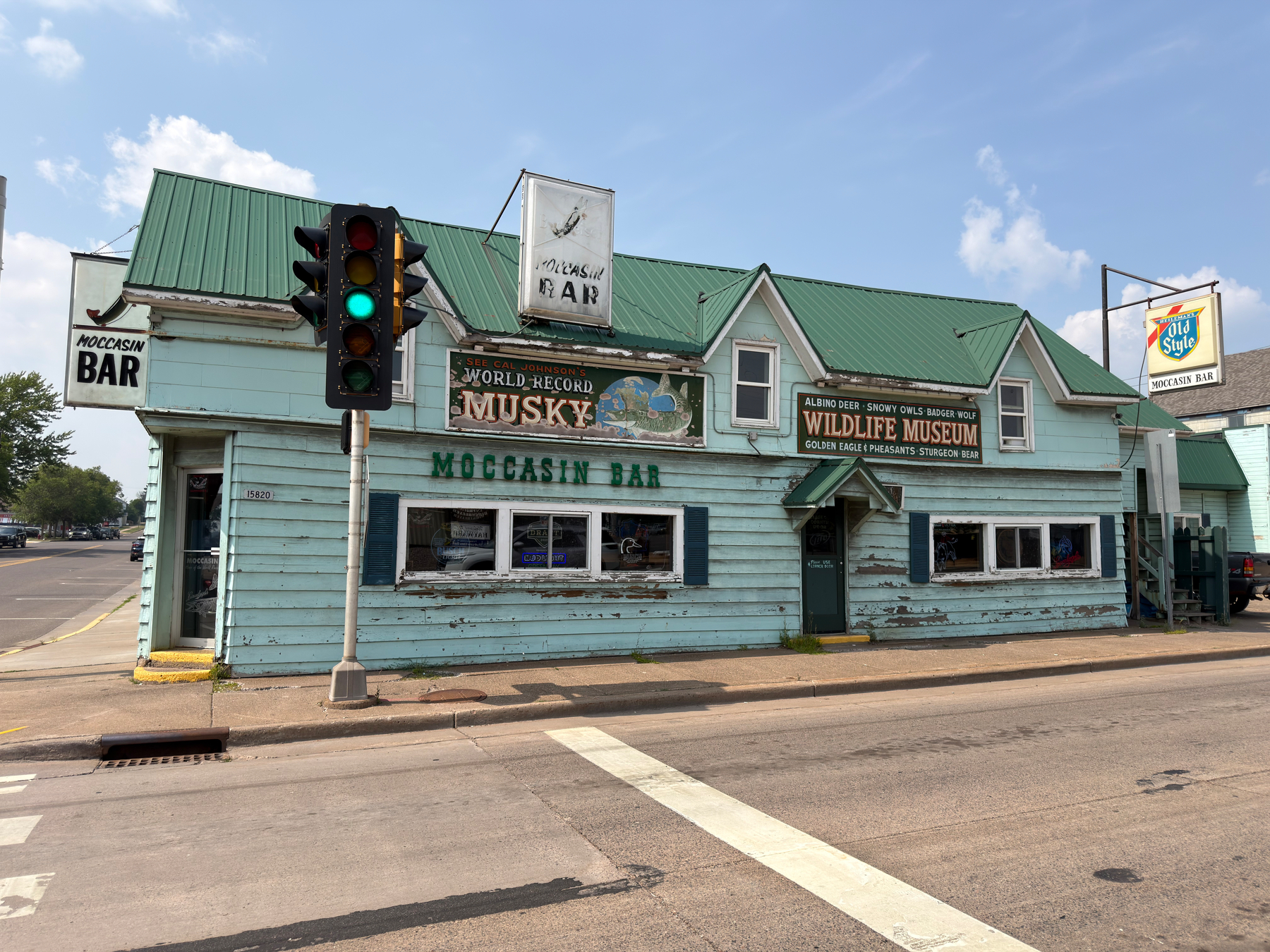
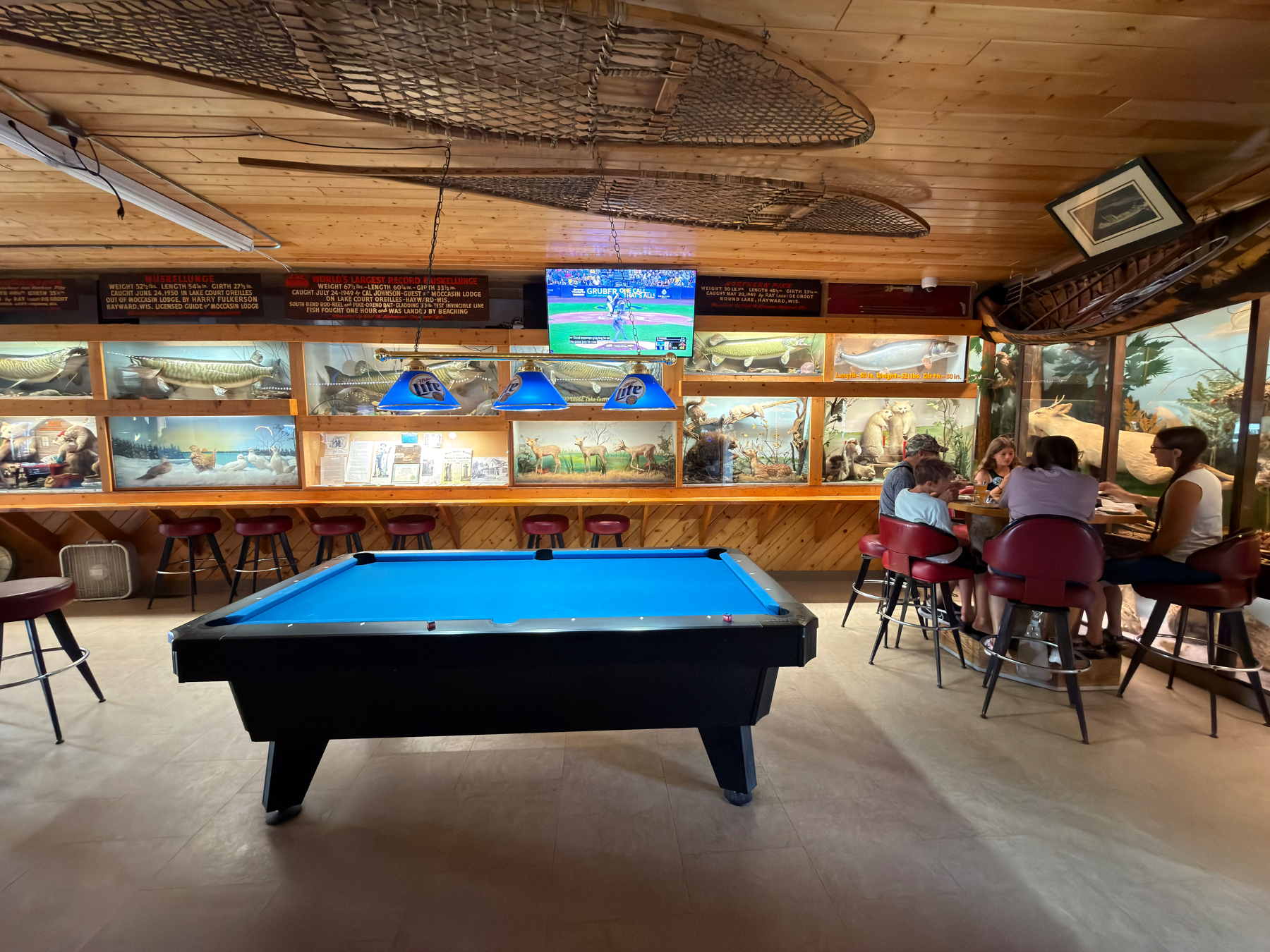
Smoke from the wildfires in Canada forced us to skip our time on Isle Royale National Park, but we did find a dive bar with a bunch of weird taxidermy diorama scenes.
🏷️26.07A
This Love’s Truck Stop has its own RV park. Huh. 🏷️26.07A
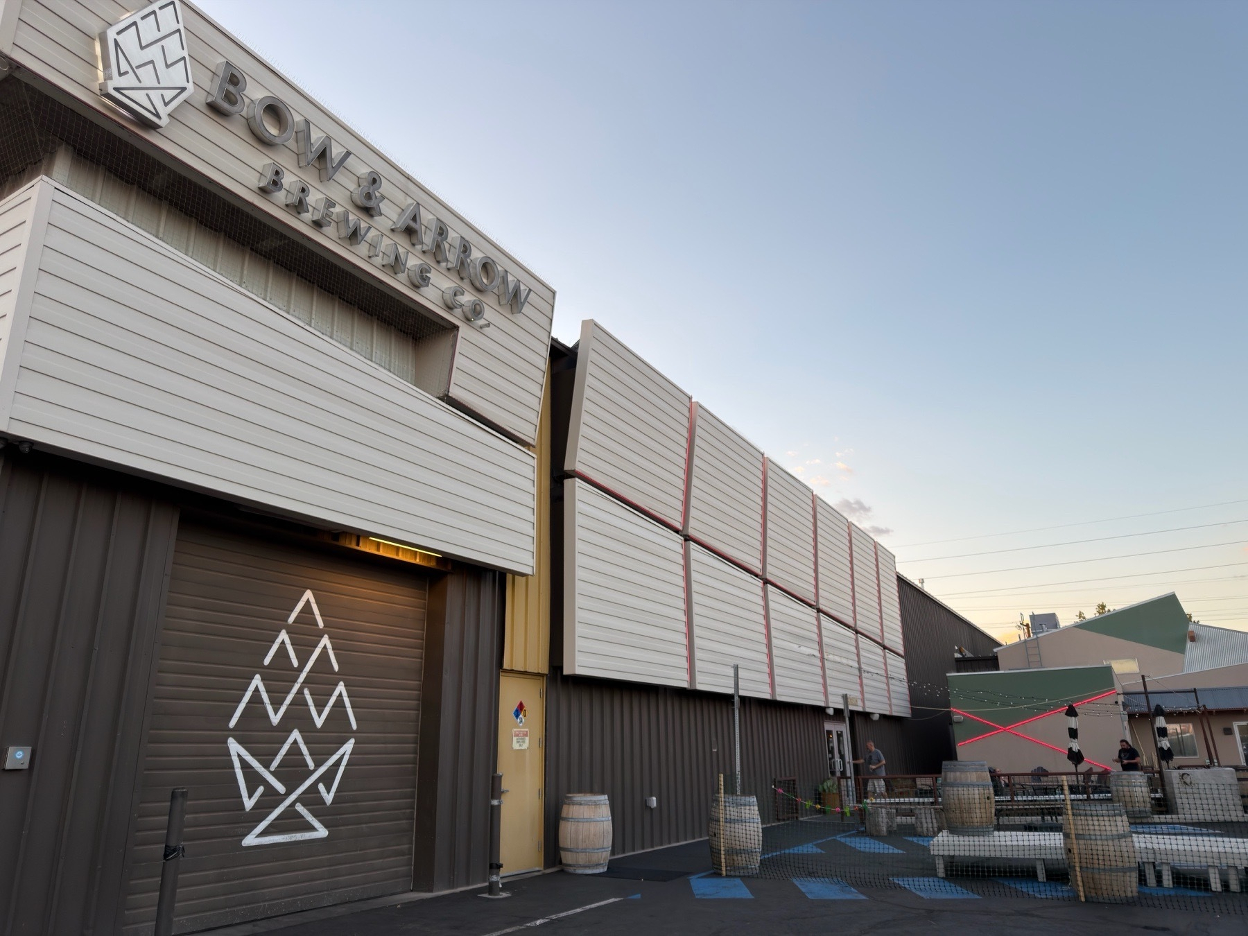
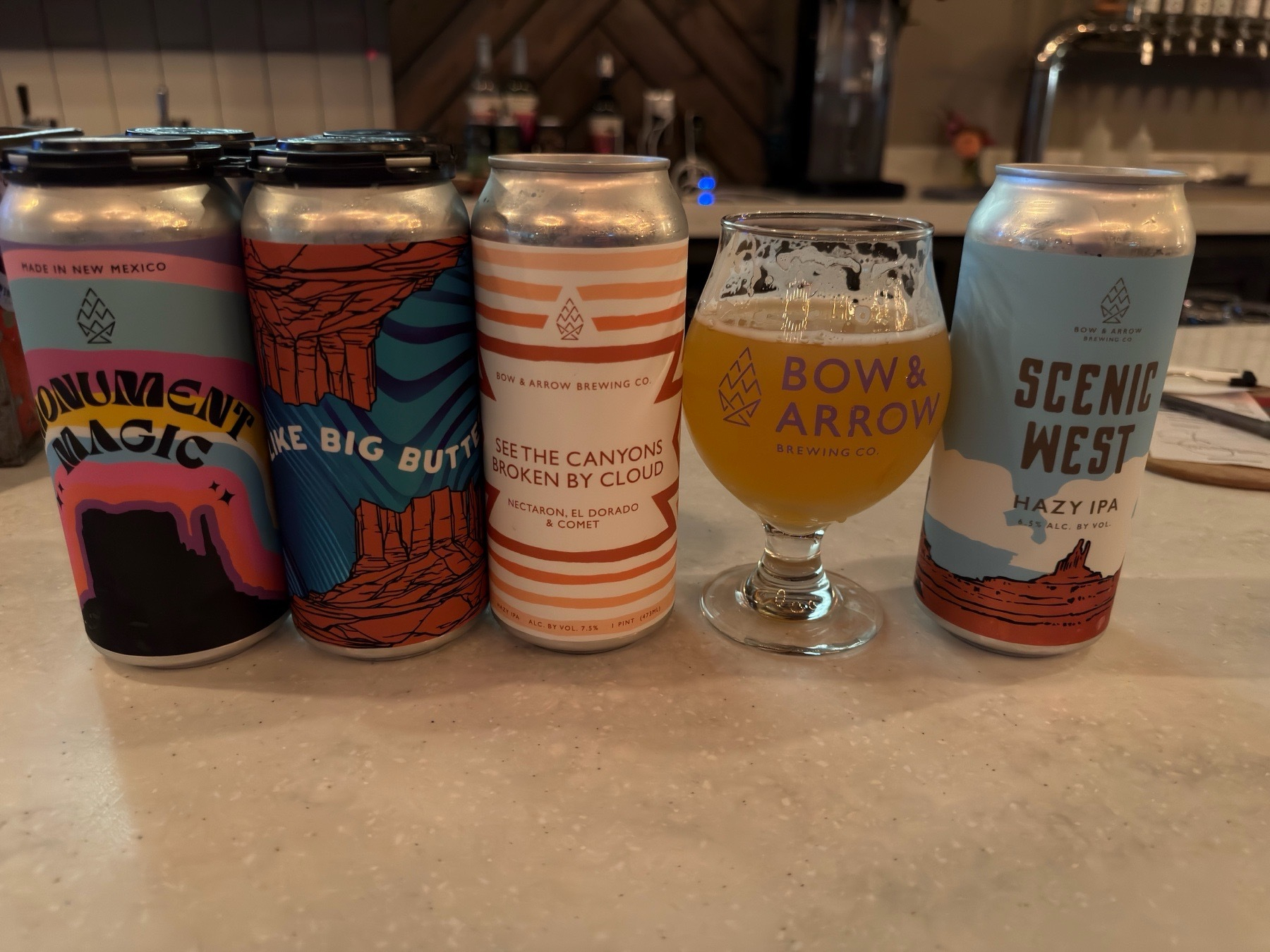
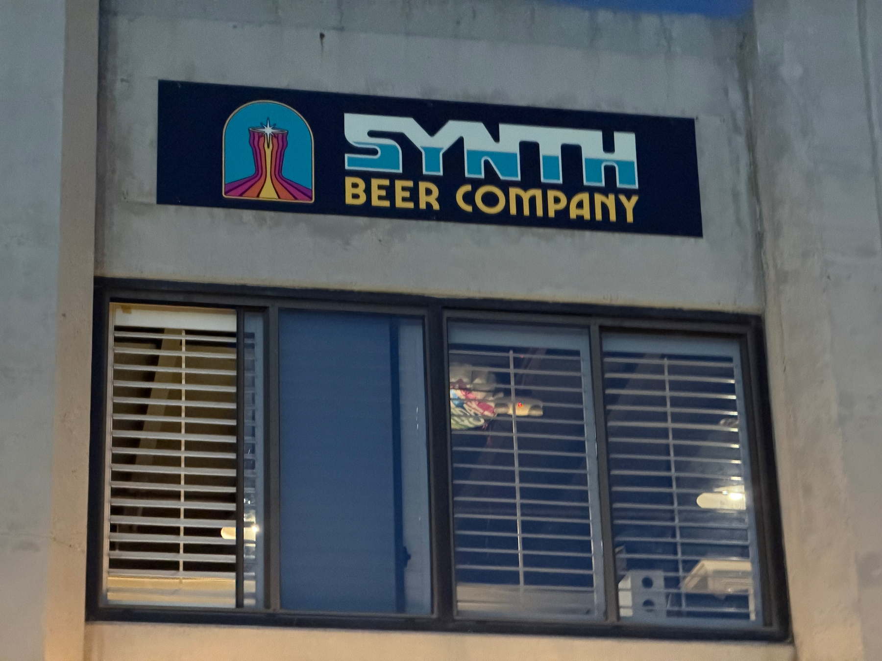
Found a new favorite brewery in New Mexico 🍻
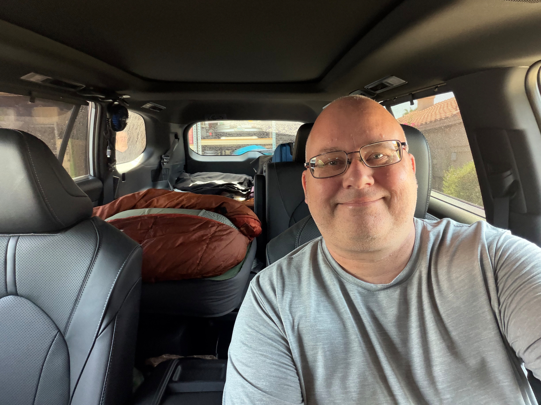
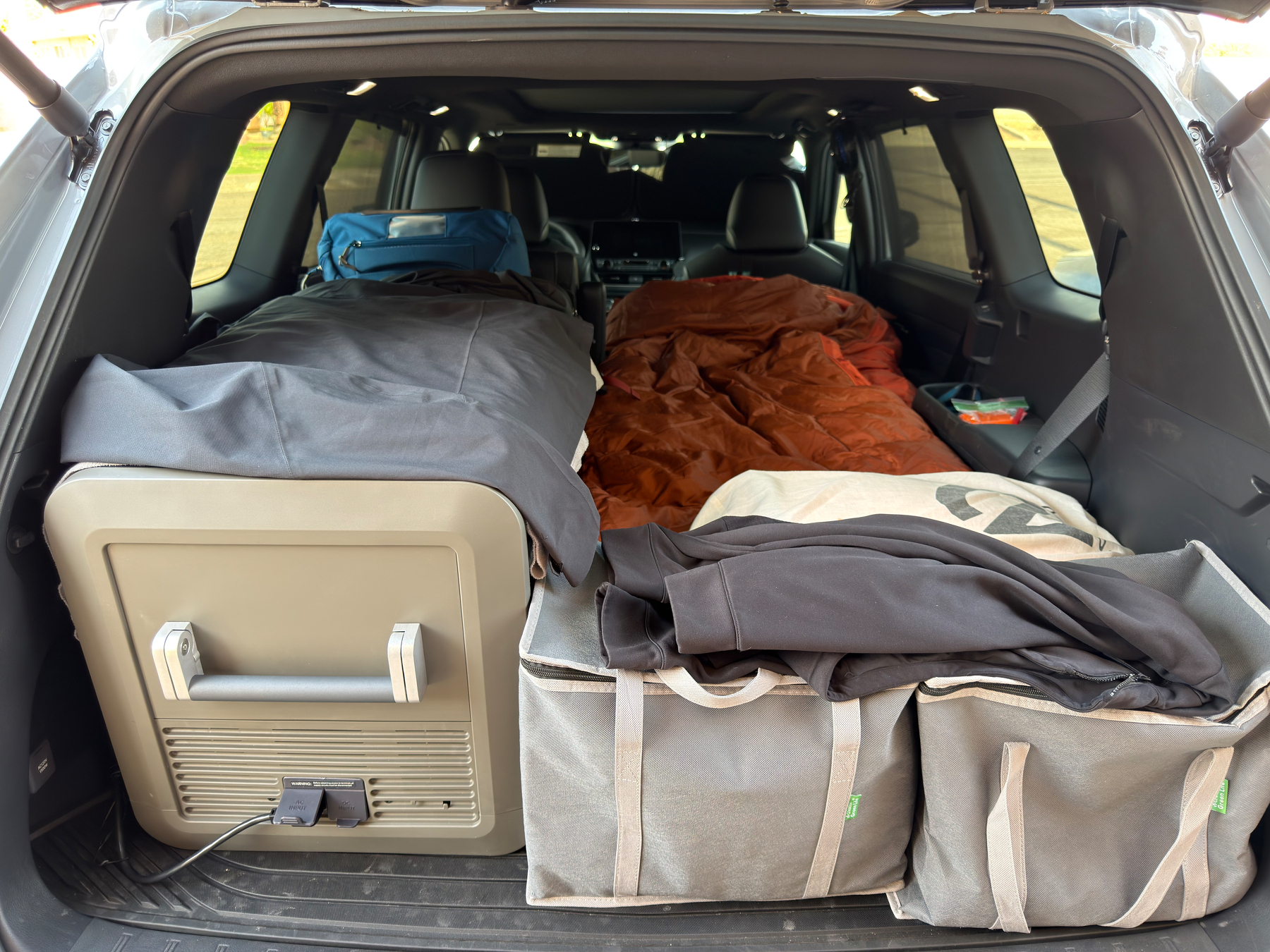 Hitting the road on my first camping roadtrip with our new Grand Highlander. It’s also our first trip with our new electric cooler and battery setup. Let’s see how it all goes on the road.
🏷️26.07A
Hitting the road on my first camping roadtrip with our new Grand Highlander. It’s also our first trip with our new electric cooler and battery setup. Let’s see how it all goes on the road.
🏷️26.07A
We’re en route home after our 3 weeks in Norway. But I won’t be home for long—I hit the road this weekend to make my way up to Isle Royale National Park.
Jen will be joining me in Milwaukee and we’ll have a couple days on the island with friends. Afterwards, we’ll hit a few more park units, dip into Canada a bit, and probably colored a few more counties. I’m also threatening to bring Jen to a twine ball.
I’ll drop her off in MSP to fly home from and will make my way back to PHX via the Dakotas and Wyoming (because why not?). It’ll be our first camping road trip with the new Grand Highlander and our new electric cooler setup.
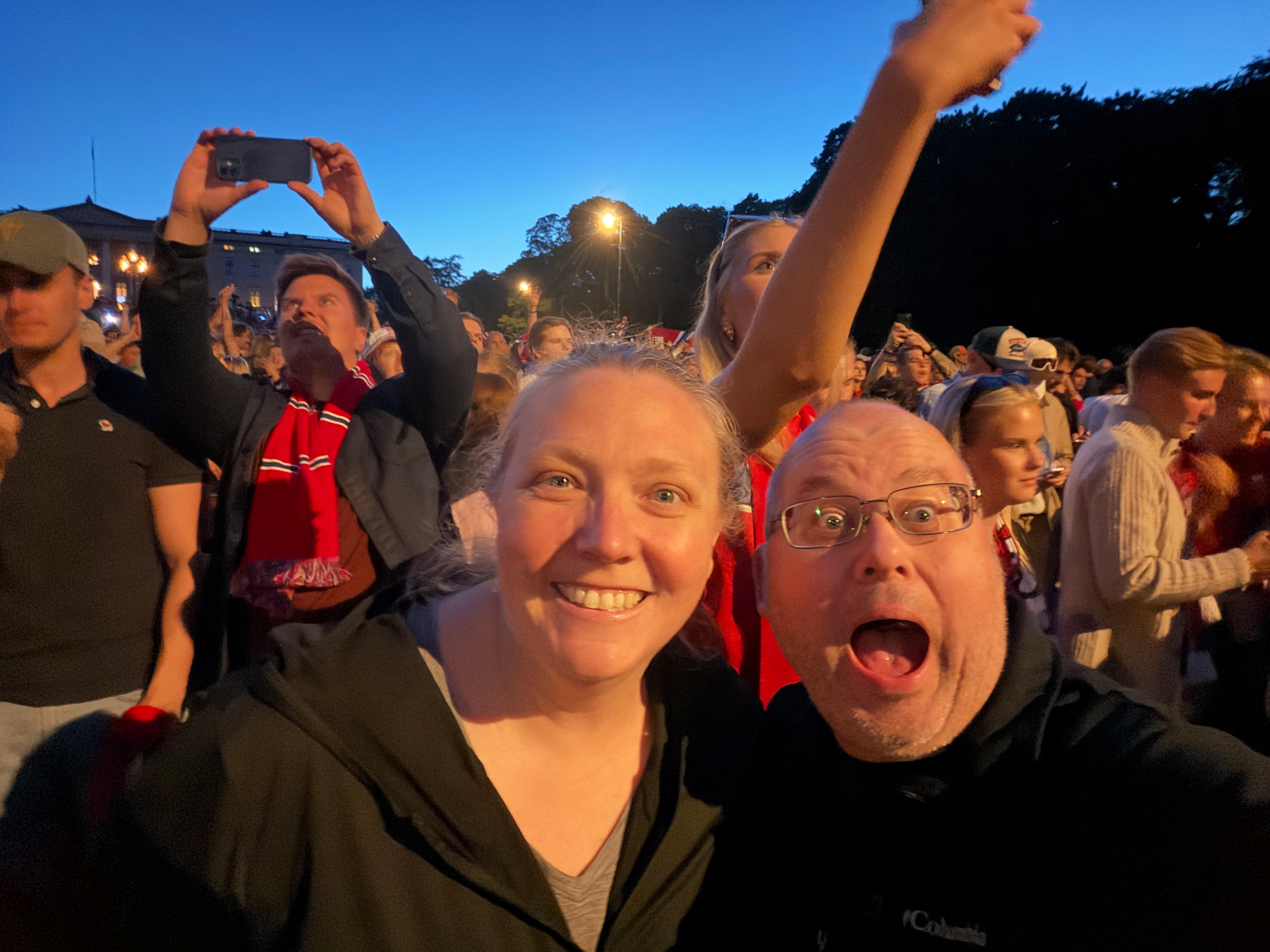
I haven’t posted anything here, but we’ve been exploring Norway for 3 weeks.
Well, tonight we found ourselves joining several thousand new friends marching to the royal palace to wake up the king and celebrate Norway’s World Cup win with some synchronized rowing and singing songs with unknown words.
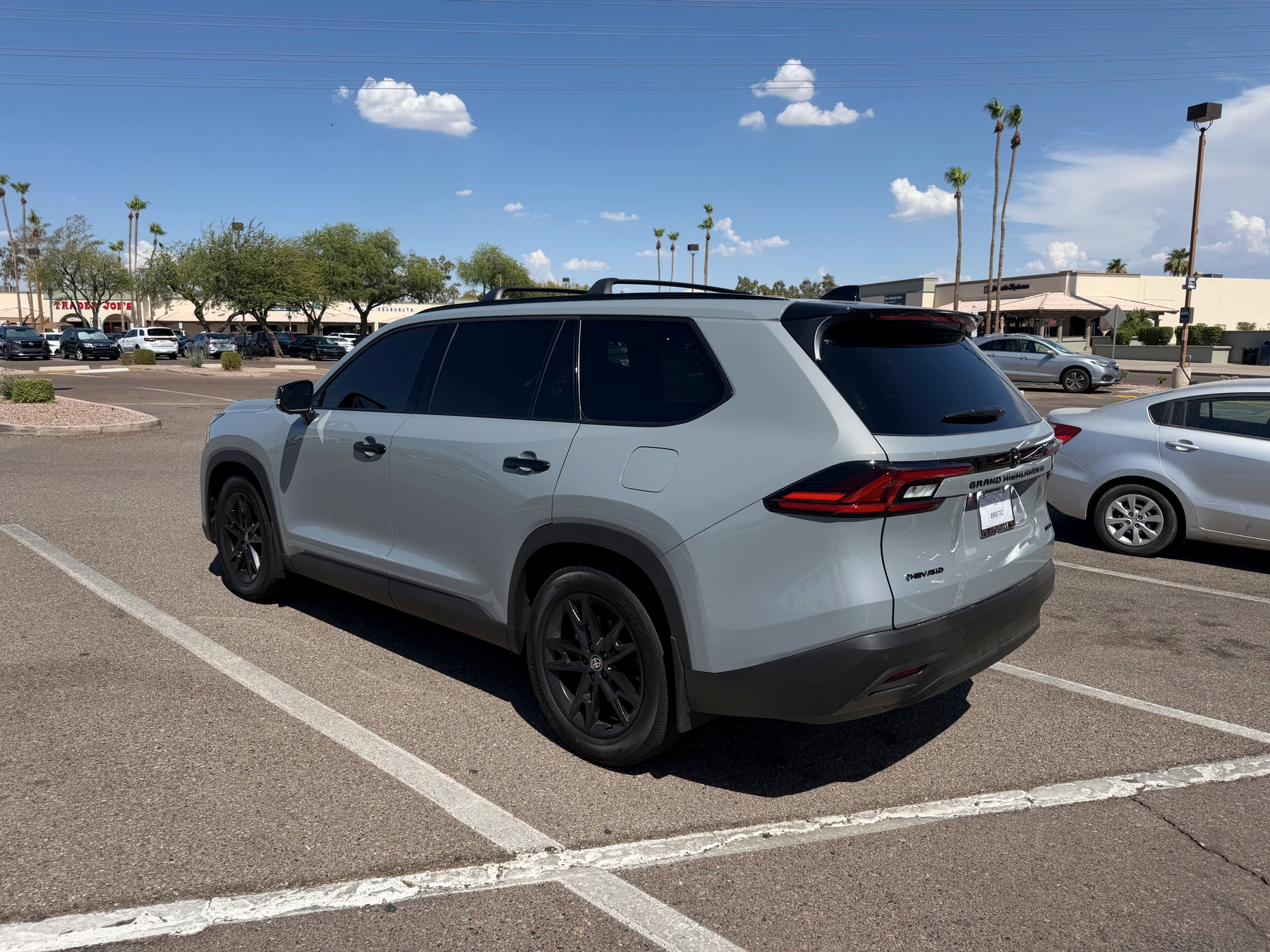
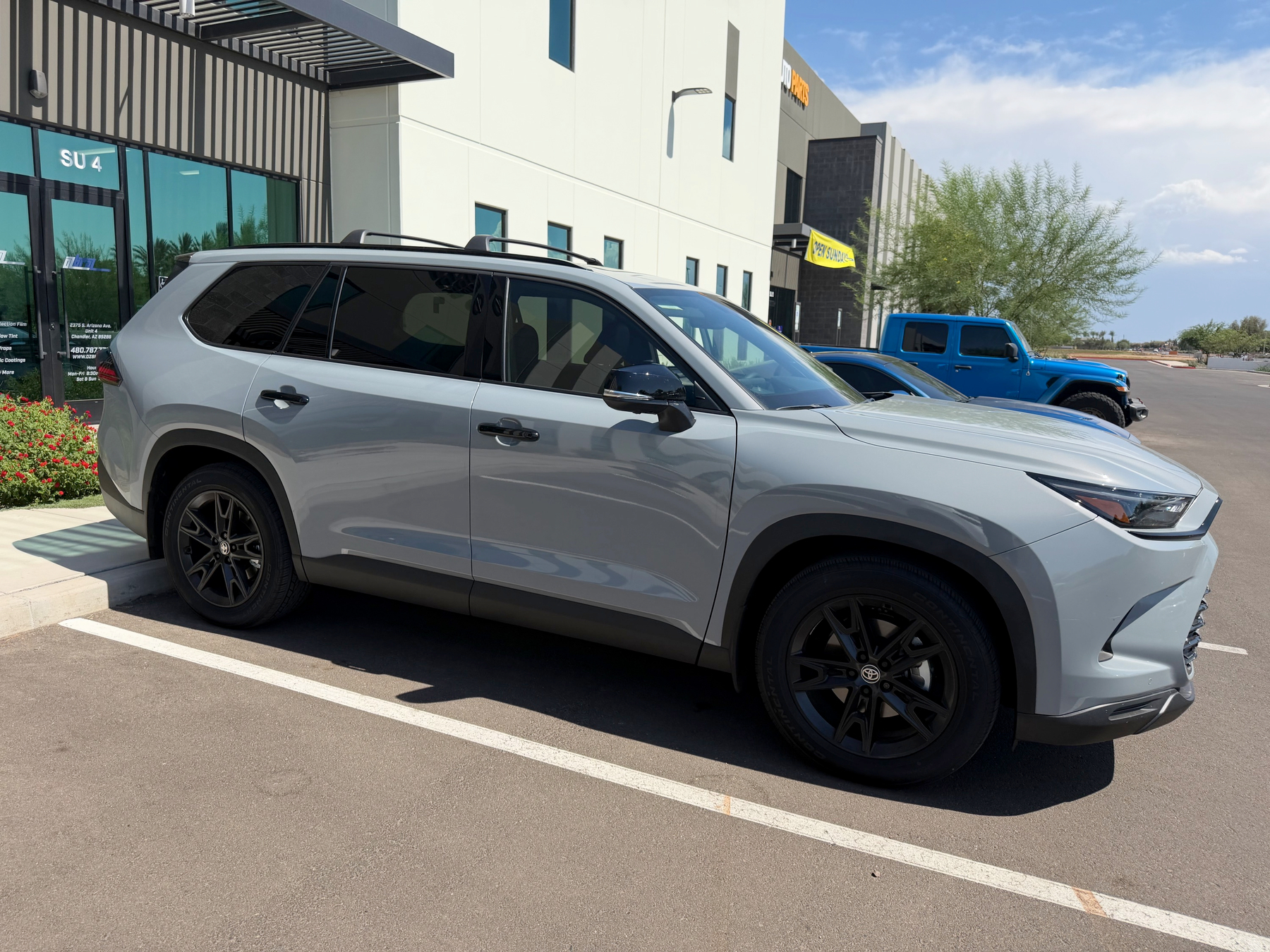
Added some premium nanoceramic IR tint (LLumar FormulaOne Stratos) to my new Grand Highlander. It should keep things much cooler than the generic tint during the hot Phoenix summer.
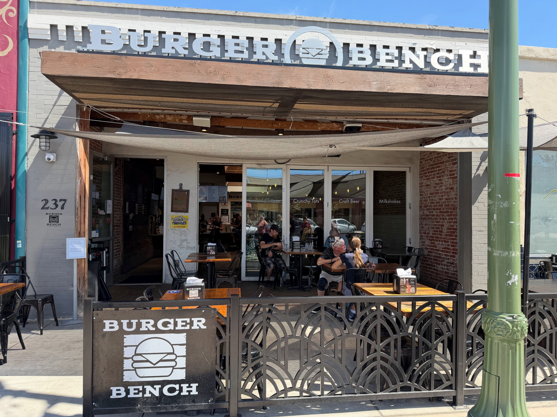
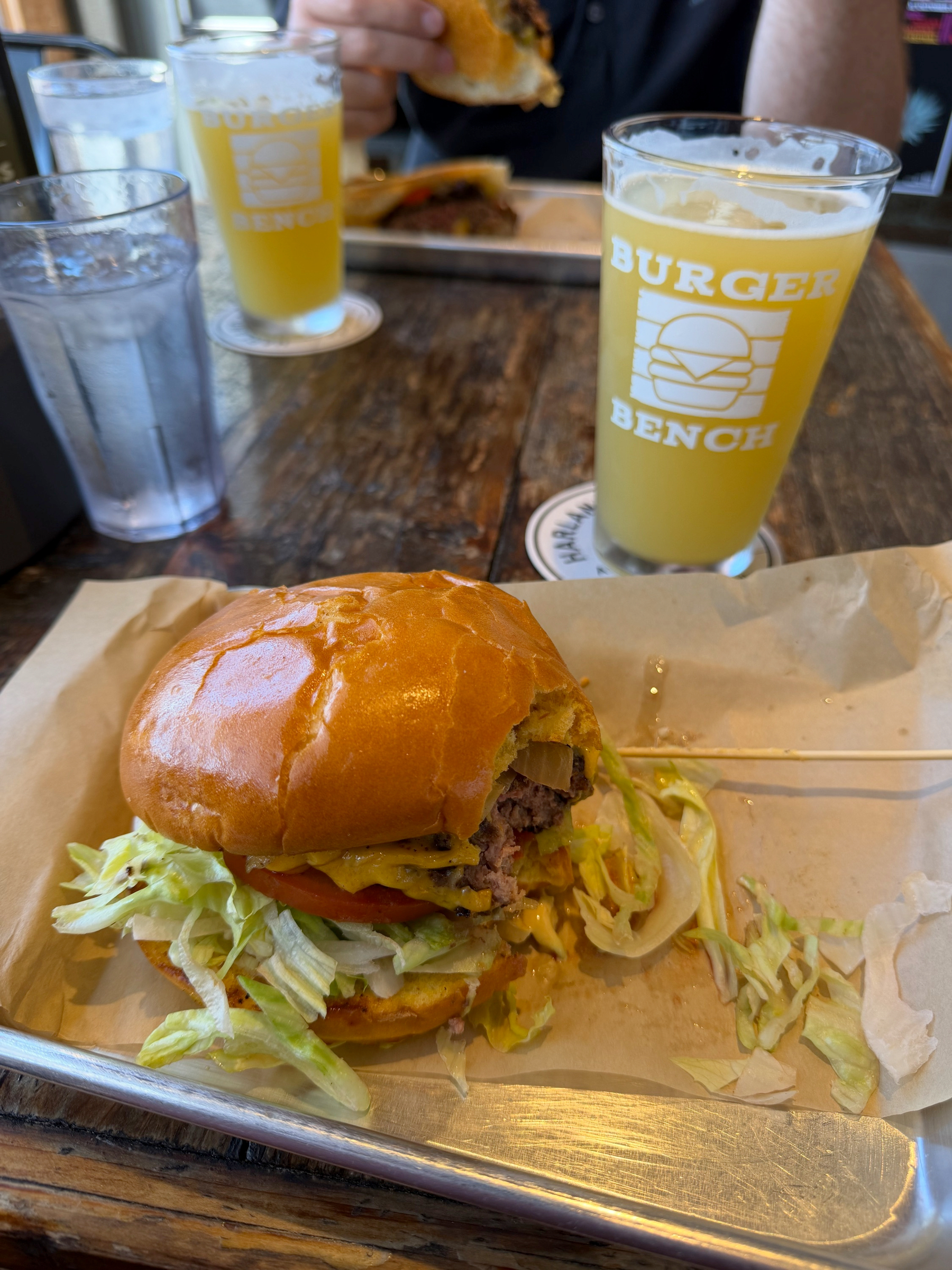
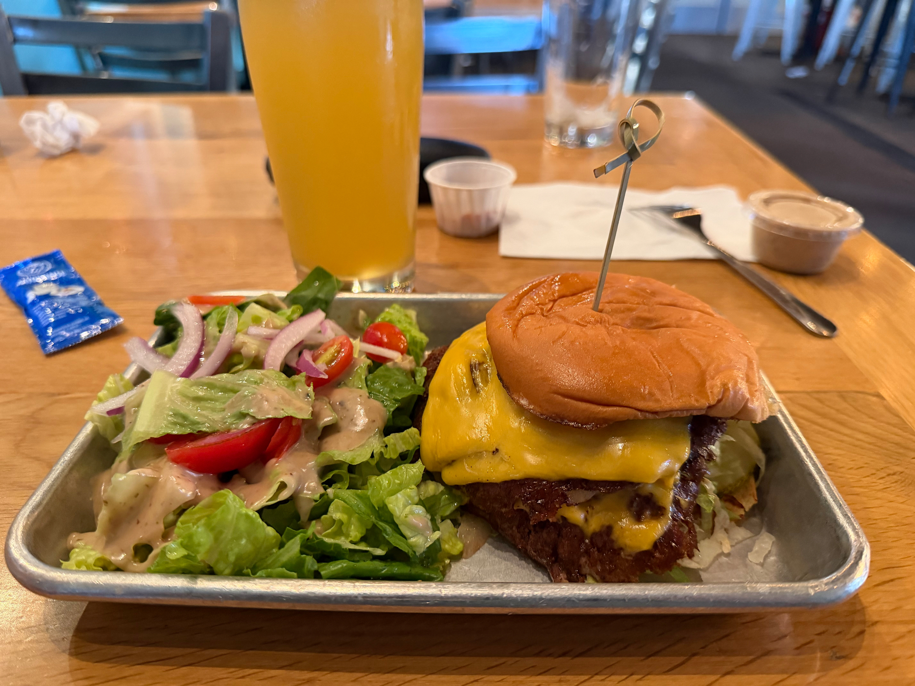
Our favorite meal of the trip was a stop at Burger Bench in downtown Escondido. Great burger, great craft beer selection, great atmosphere. Jen said her grilled cheese was the among the best she’s ever had. Highly recommend. 🏷️26.06A

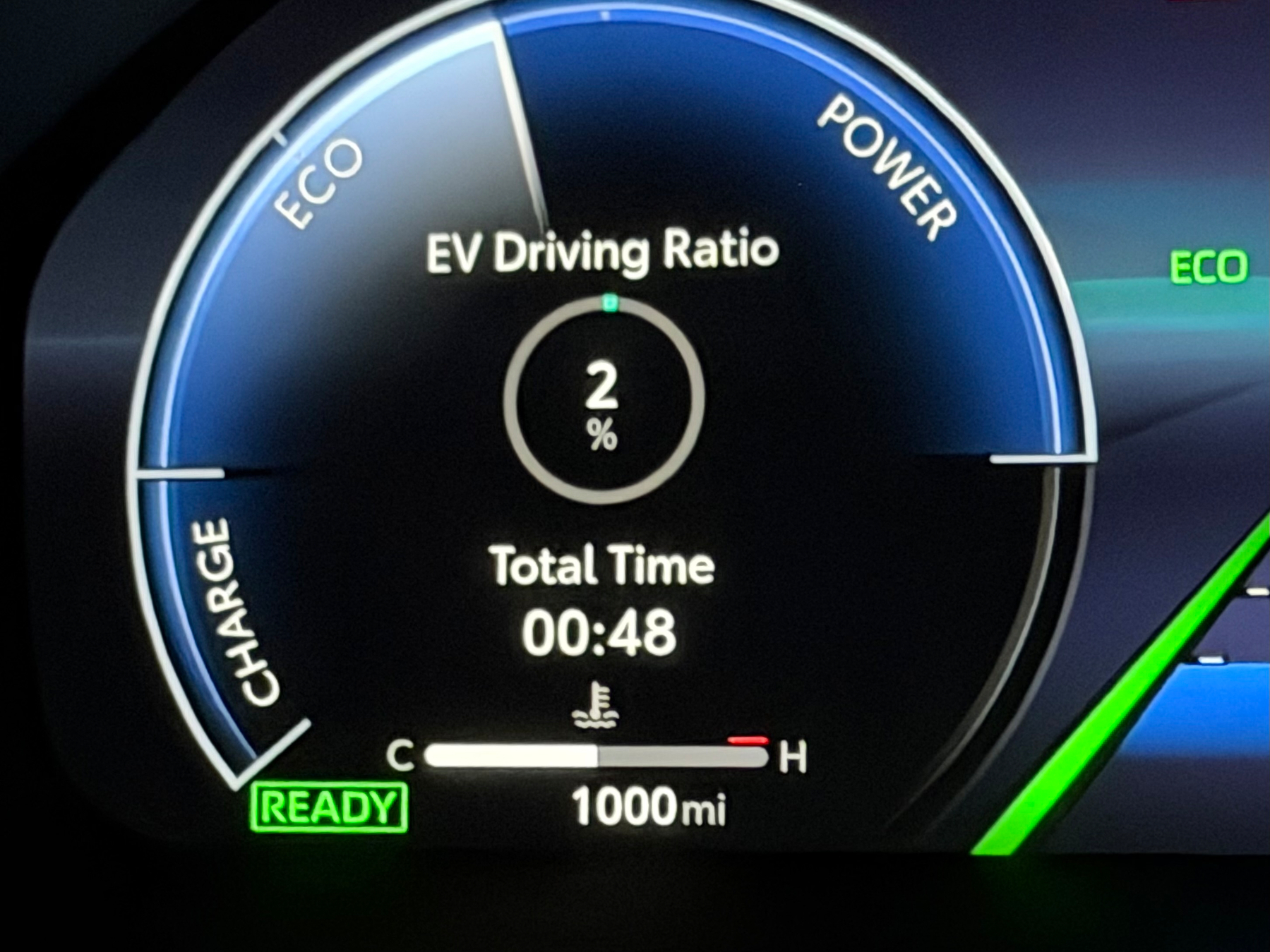
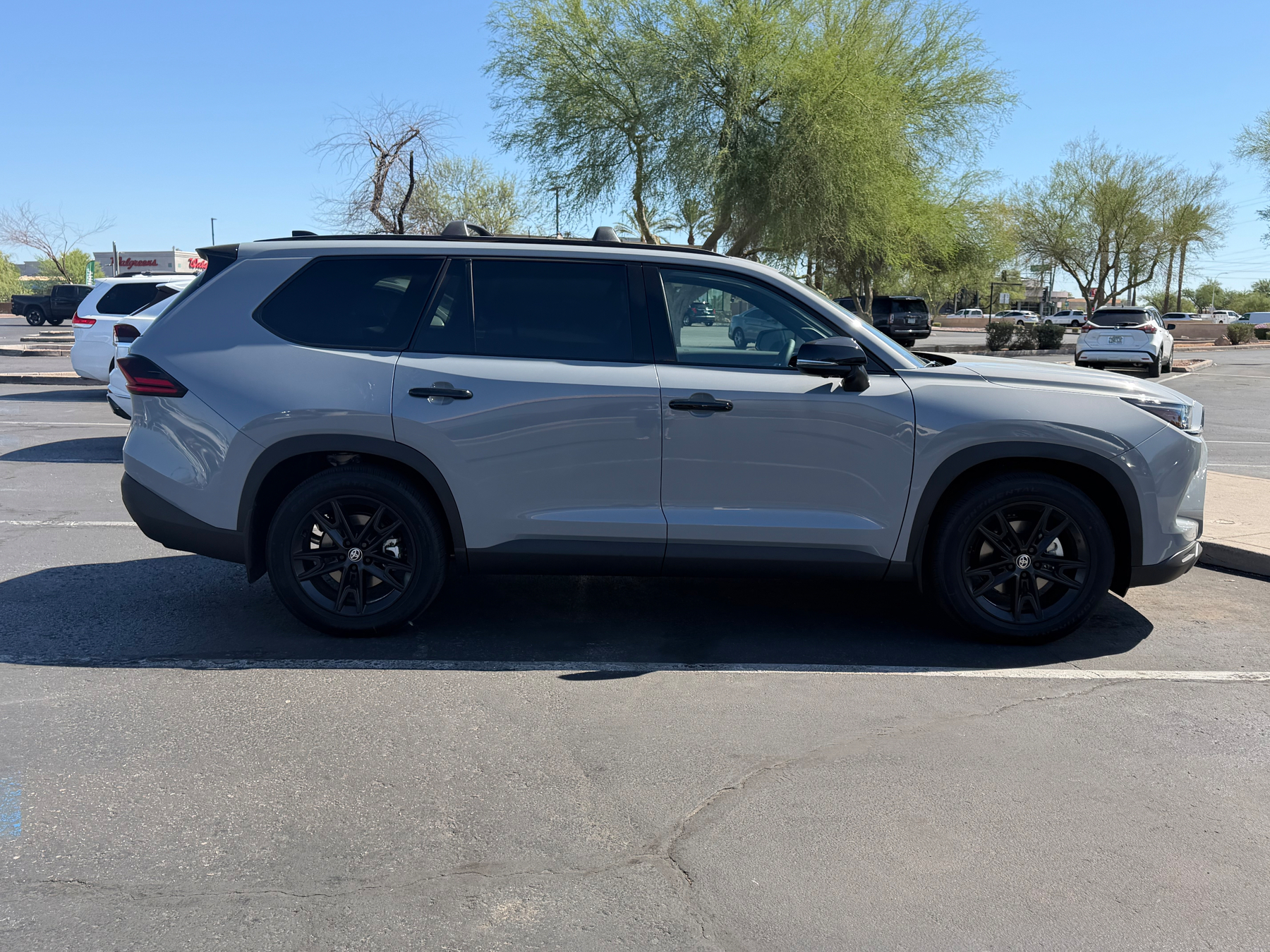
It didn’t take too long to hit 1000 miles on the new Grand Highlander—it’s day eleven. 😂
Angles 🏷️26.06A

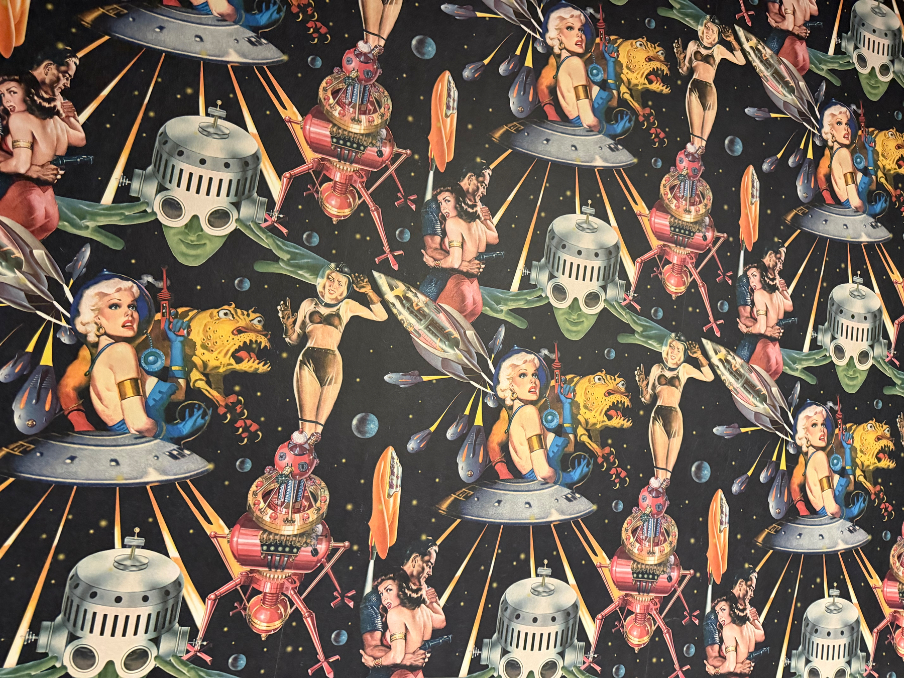
This place had (new) shag carpeting tacked to the wall. 🏷️26.06A

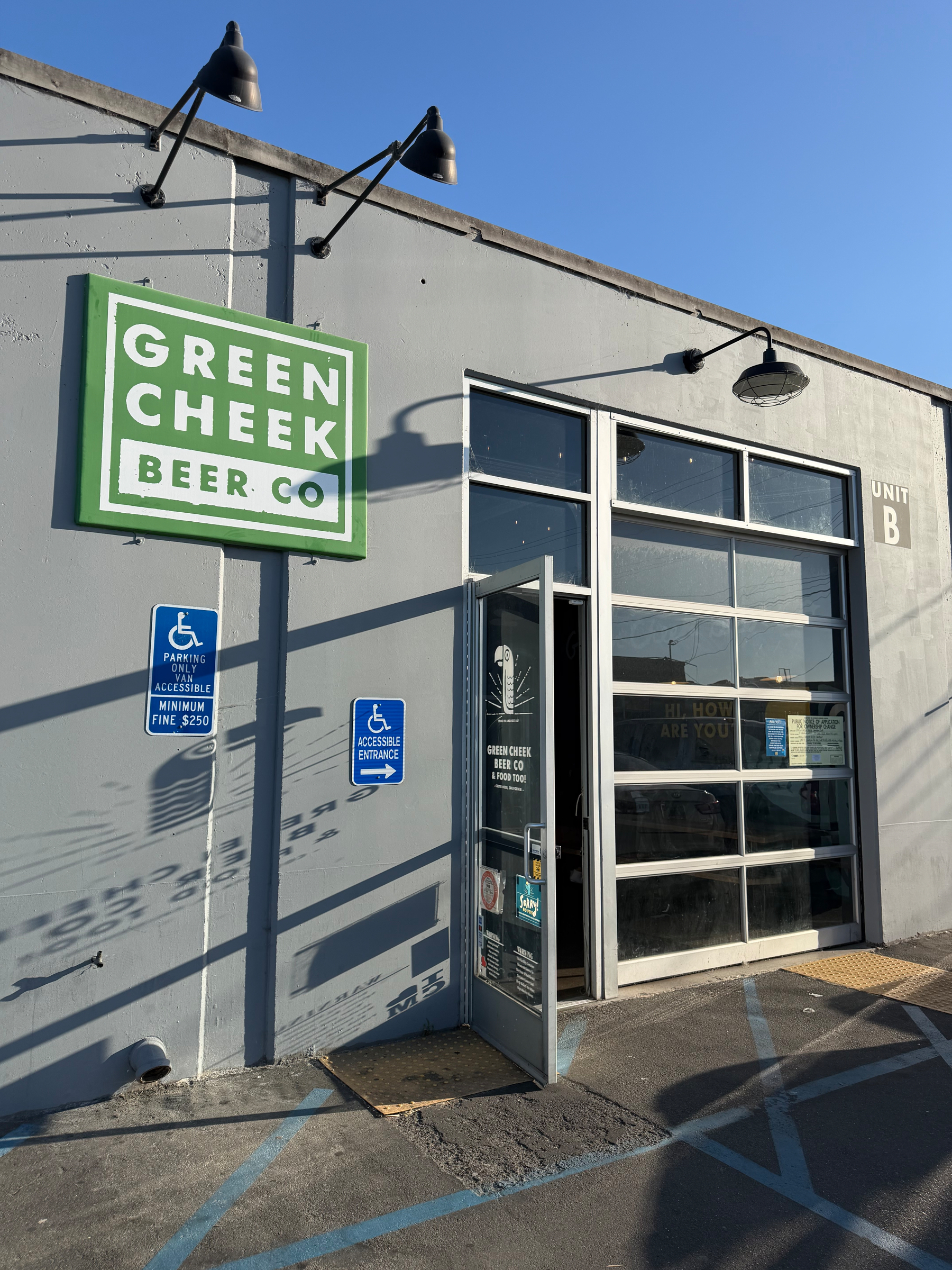
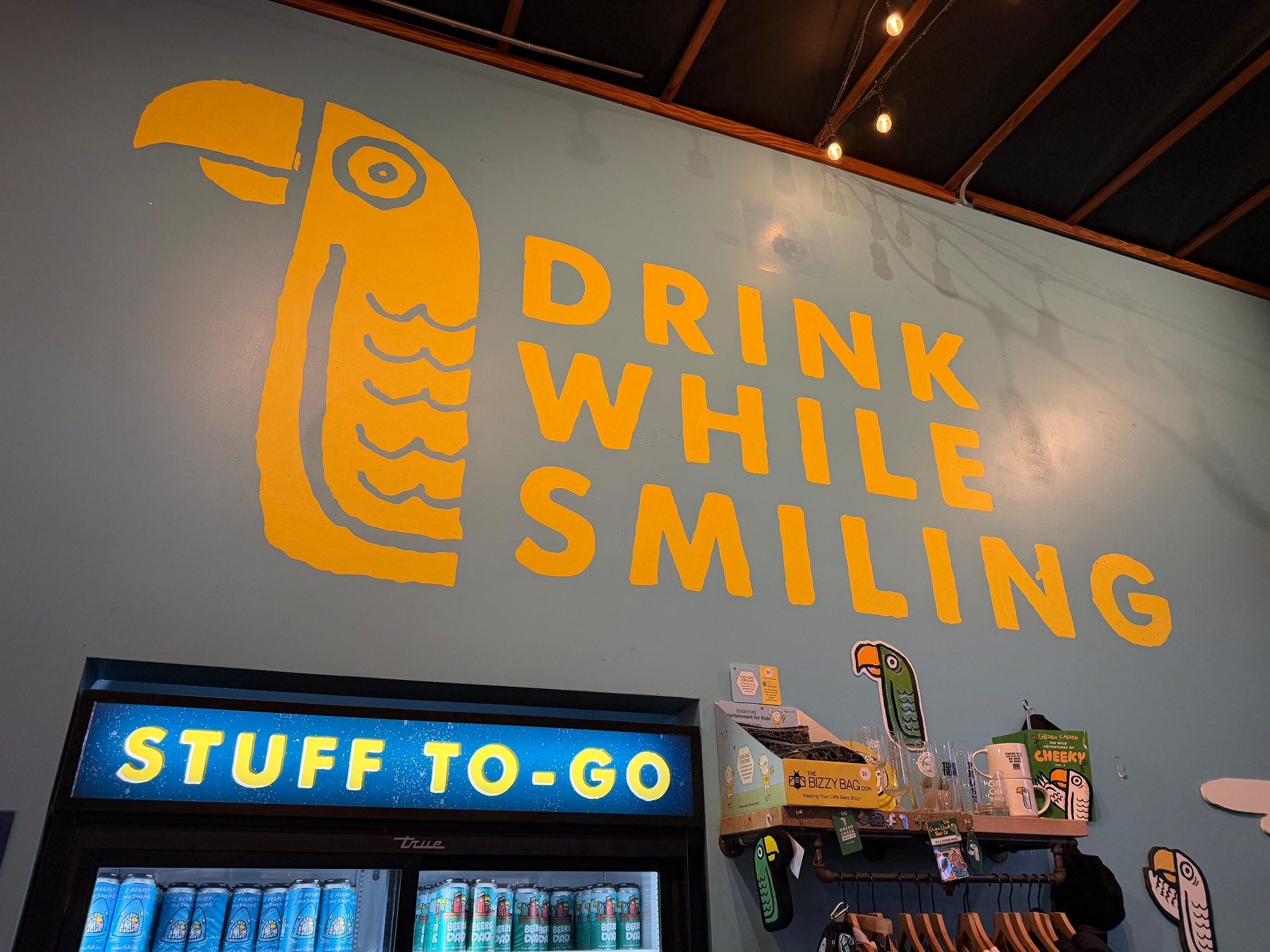
Green Cheek Beer 🏷️26.06A
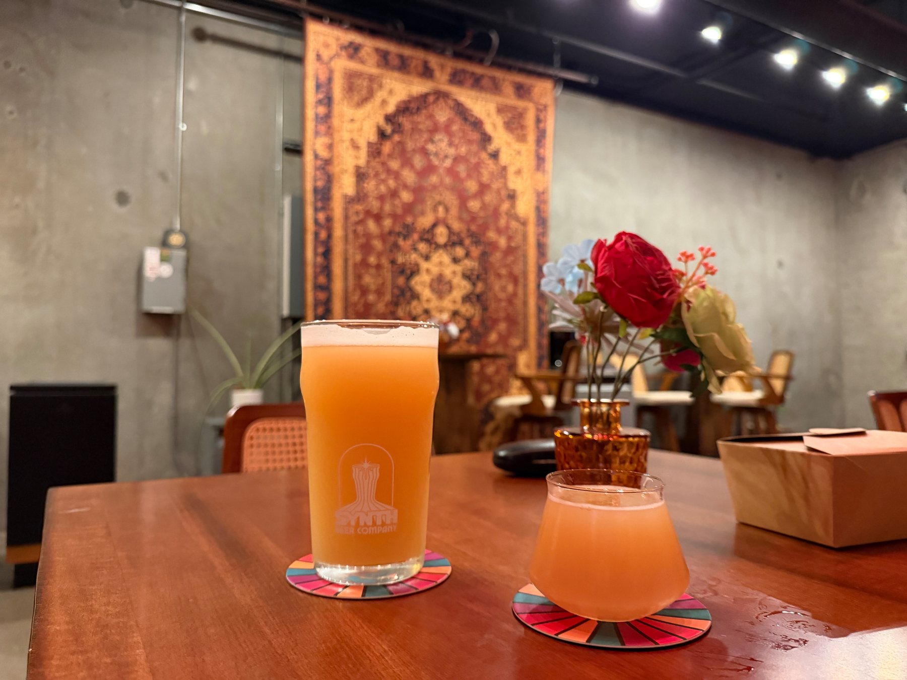
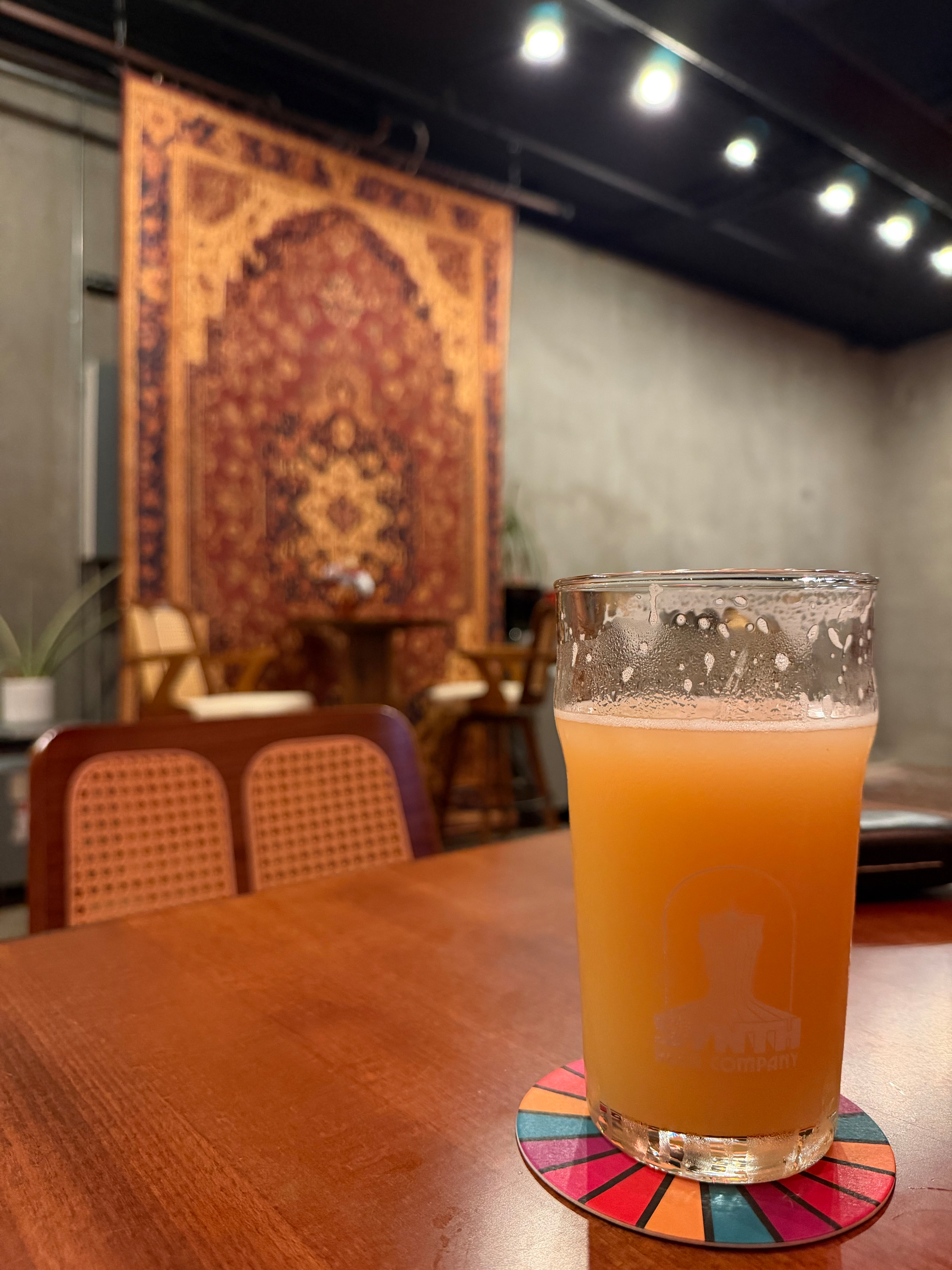
This rug really ties the whole room together. 🏷️26.06A
First big drive with Mac! 🏷️26.06A
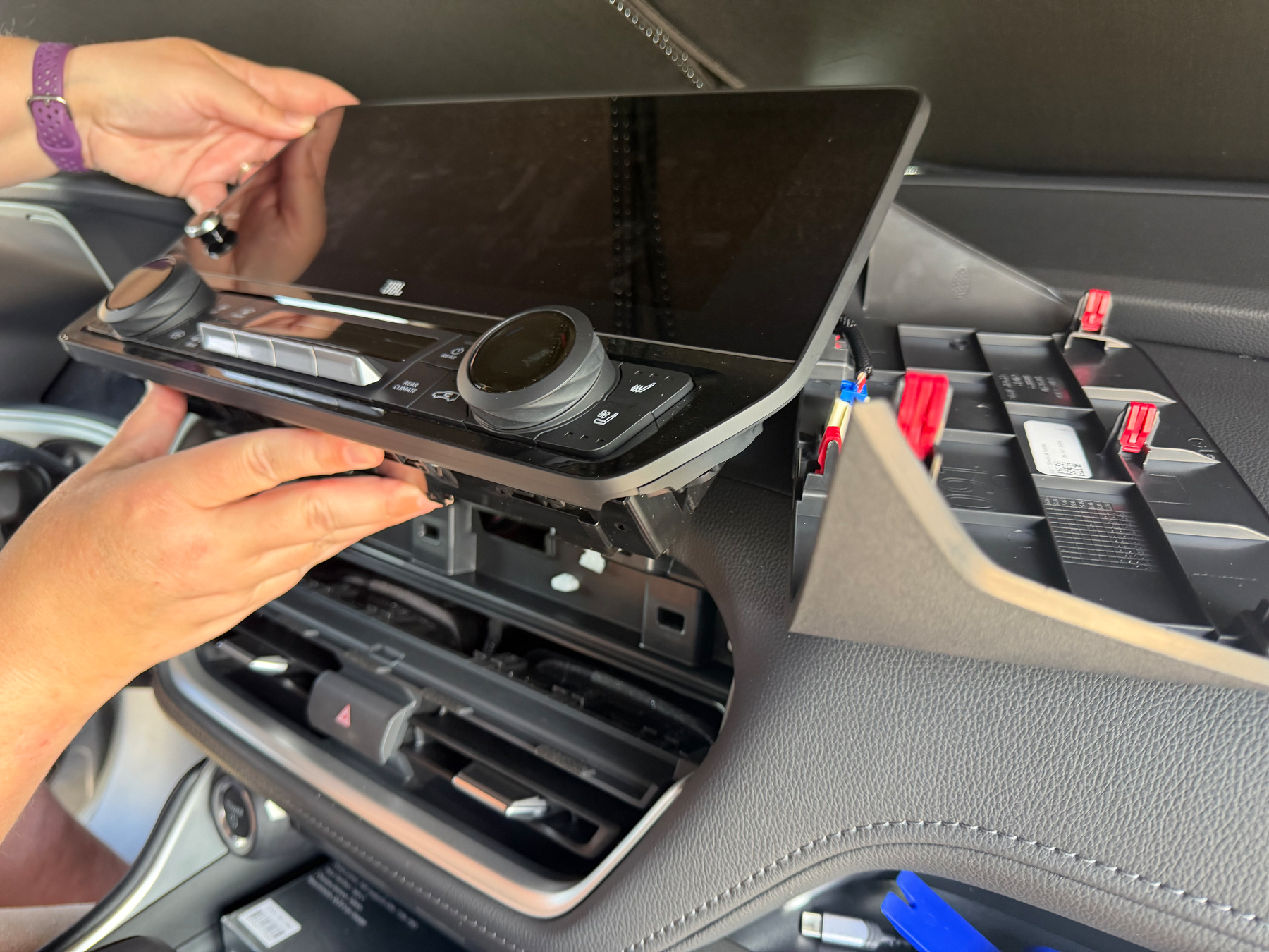
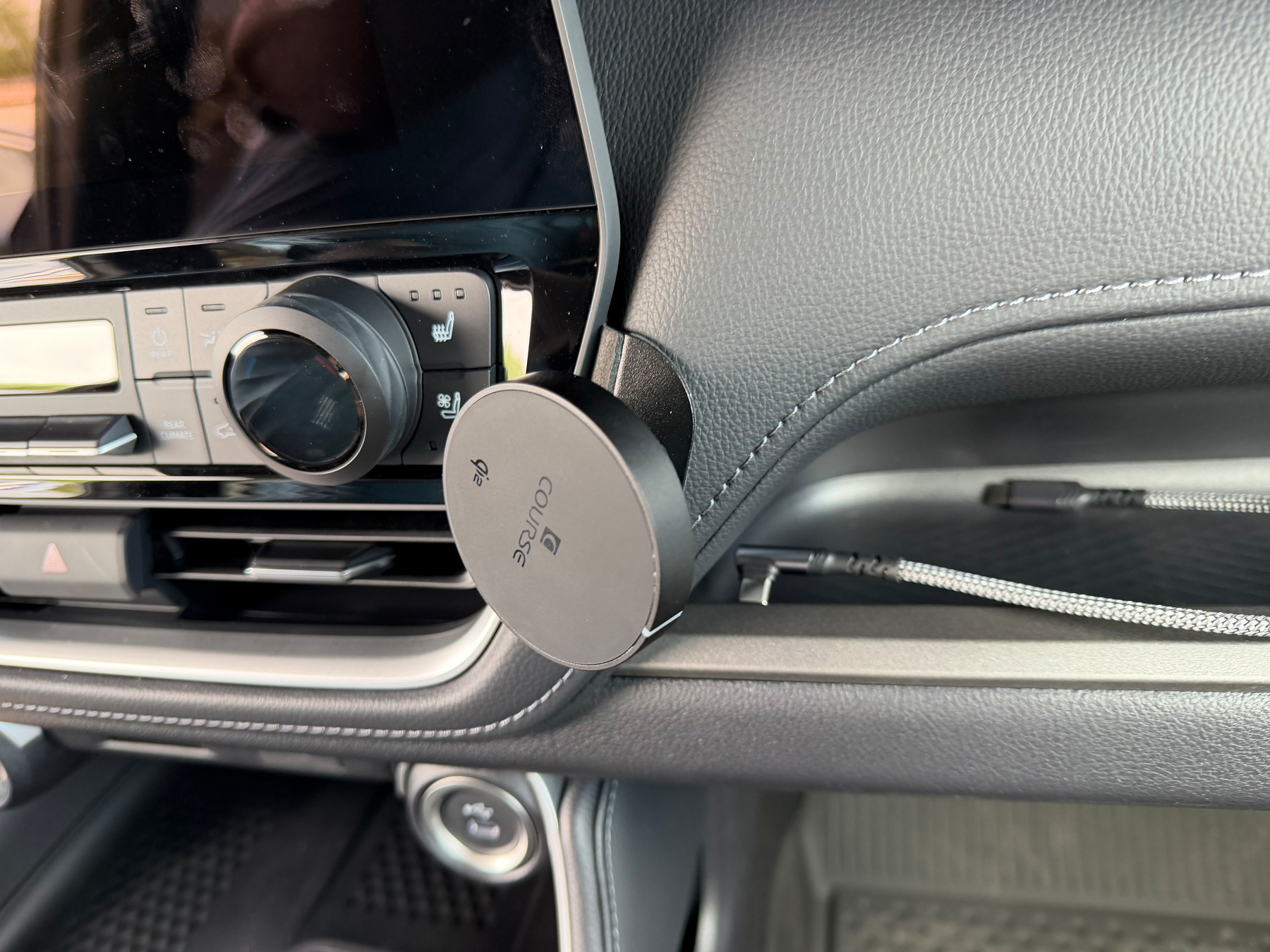
Did some minor surgery to our new Grand Highlander to add a custom phone mount. It was both easy and terrifying to do.