Another installment of *Always Choose the Window Seat*
It’s always fun to fly over the Lower Salt River, our summer oasis on the edge of Phoenix. Here’s what my paddling stretch looks like, from west to east.
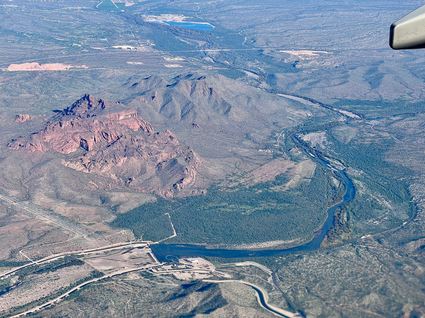
The first shot shows Granite Reef Dam, where some of the river is funneled into canals that feed the Valley. The Central Arizona Canal crosses here too. Red Mountain is the prominent red butte. I only occasionally paddle this last 3-mile section, preferring to end at the parking lot near the far right of the photo—the Phon D Sutton Rec Area, at the confluence with the Verde River coming in from the north.
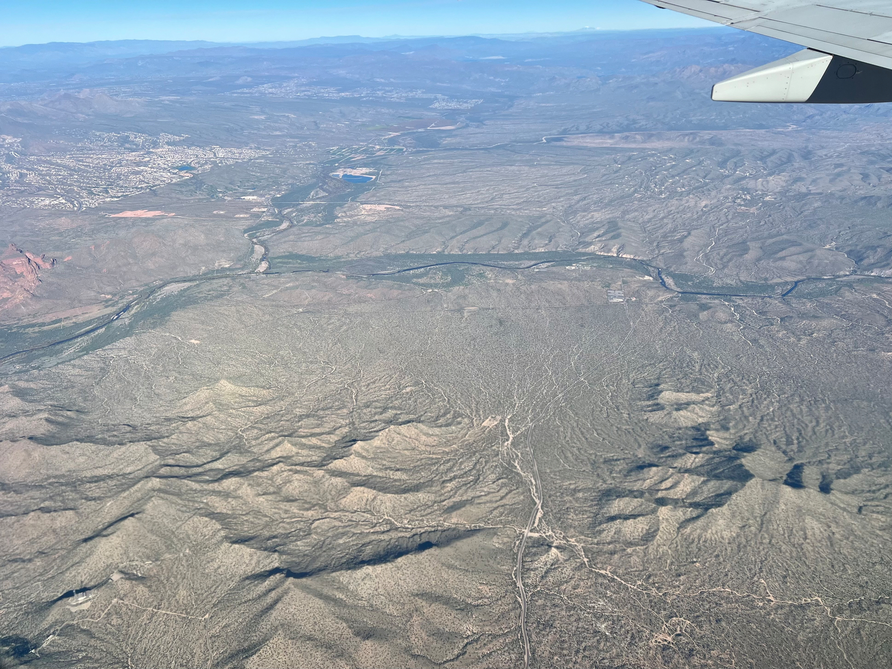
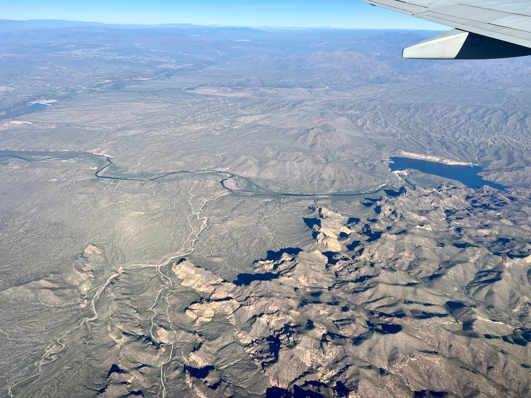
The next two photos show the river course leading back to Saguaro Lake. This stretch is about 11 miles. My put-in spot is just downstream of the dam, right as the road curves west (left).
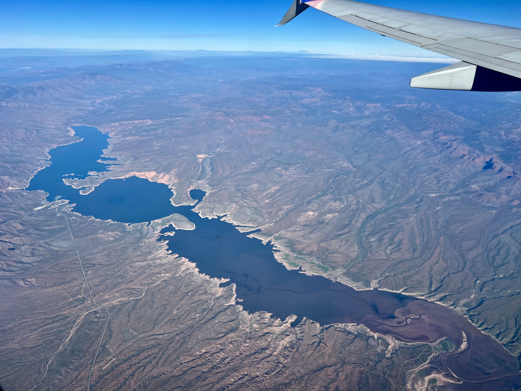
The final photo is a bonus: it’s Roosevelt Lake, the original impoundment of the Salt River that gave rise to Metro Phoenix. You can see the Salt River entering from the bottom right corner of the shot. The reservoir is one of four—Roosevelt, Apache, Canyon, and Saguaro—along the Salt River.